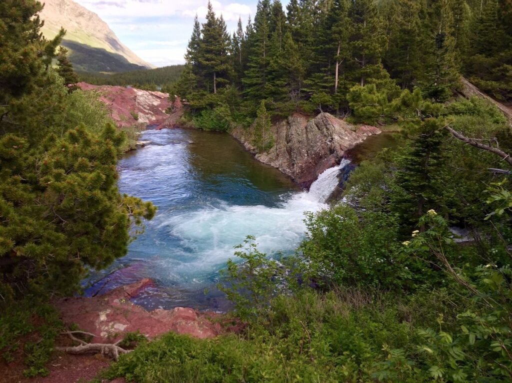
Less Water, More PUDs
Halfway through the section of trail between the towns of Augusta and Elliston, the abundant water sources we’d been enjoying (read: taking for granted) throughout Glacier and The Bob mysteriously disappeared. Sources were suddenly scarce, becoming fewer and further between.
Water became a commodity we actually had to think about and plan our days around. I didn’t expect this until the “desert” sections of the trail. When you research the areas with the little water and thus long water carries on the CDT you’ll probably come across places in New Mexico and The Basin in Wyoming. I don’t remember reading anything about Montana.
Perhaps 2025 is just a particularly dry year in this state. Even bodies of water marked with the full water droplet waypoint symbol in FarOut (indicating a reliable source) have been dry this year. We have been told by locals that it’s currently in a drought status. This is likely due to, at least in part, the lower than average snowfall over this past winter.
Regardless of cause, the reality was that we were facing upwards of 15-20 miles between reliable water sources. And we were only hiking the same range of miles per day. That meant potentially carrying water from one night’s camp to the next. To make matters worse, the elevation profile through this section was far from easy, and full of PUDs (pointless ups and downs). More PUDs = more exertion = more hydration needed.
How did we combat these obstacles?
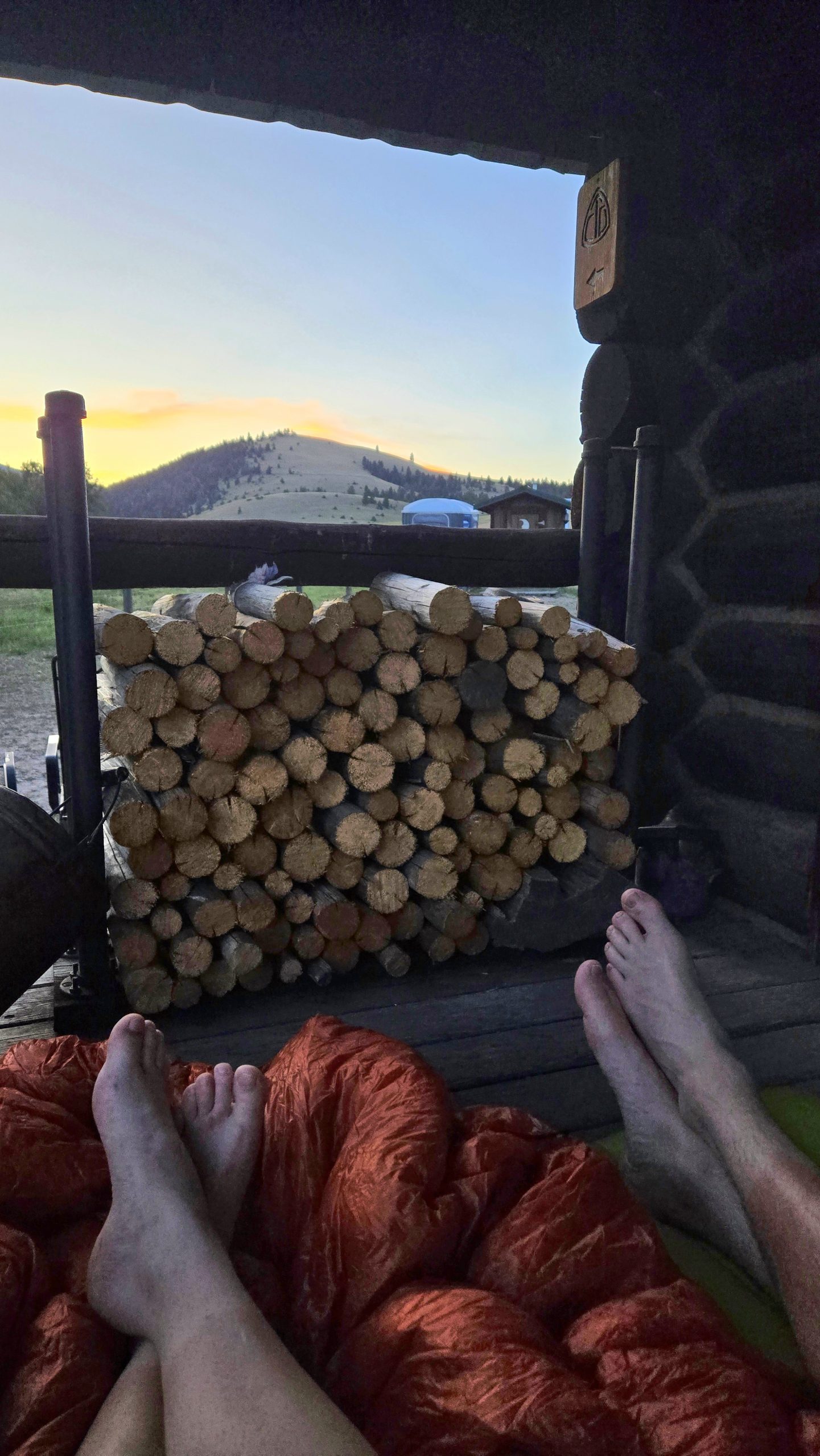
Flescher Pass Cache
First we got lucky with some impeccably timed trail magic. Two backpacker locals in the Lincoln area, Crusty Phil and Tinkerbell, maintain a cache of water and other goodies in the bear box at Flescher Pass. You never want to 100% rely on caches since you have no way of knowing for sure whether they are currently stocked. We had a backup plan to collect at an off-trail water source, but hoped we’d save our legs the extra half mile and be able to fill up at the cache.
As luck would have it, just as we got down to the pass we ran into none other than Crusty Phil and Tinkerbell in the flesh. They told us they had not only restocked the water cache, but left exactly three soft drinks there as well. This was amazing news to three hot and sweaty hikers about to enter a dry spell.
When we arrived at the pass and opened the bear box we found two Olipops and a Spindrift, still cold, a bonus treat of Little Debbie Honey Buns, and a bounty of water. Plenty to get us to our dry camp, through dinner, breakfast, and on to the next day’s reliable source. We were very grateful that these trail angels go out of their way to maintain the cache that made our day much easier and more enjoyable.
The Llama Alt
Another way we dealt with the lack of on-trail water was to not take the trail. The CDT is a journey of many alternate routes and it’s widely accepted and encouraged to take them as needed or wanted. It’s all about choosing your own adventure. The area we were in has an unofficial alternate commonly referred to by thru hikers as the “Llama Alt.” As its name implies, the route passes by a ranch that has llamas, among other farm animals.
The ranch is a property owned by a husband and wife and is primarily a hostel geared towards bike packers who are cycling the Great Divide Mountain Bike Route. The GDMBR is essentially the biking equivalent of the CDT. It traverses about 2700 miles from Banff, Canada to the New Mexico-Mexico border along the Continental Divide, and is allegedly the longest unpaved bike route in the world.
Our main intention taking the Llama Alt wasn’t to visit the ranch, but rather that the road paralleled and crossed more creeks than the red line (the official CDT route) and there was a much gentler grade and far fewer PUDs. We had heard rumors of trail magic of an unspecified variety at the llama ranch, which was only an added bonus for our purposes.
Unsure of whether or not camping was possible there, we figured we’d stop in, see what the place was about, then be on our way to stealth camp somewhere down the road. In a then-unknown manifestation, The Show said, “maybe we can ask and they’ll know of a place 5 miles or so down the road we can camp.”
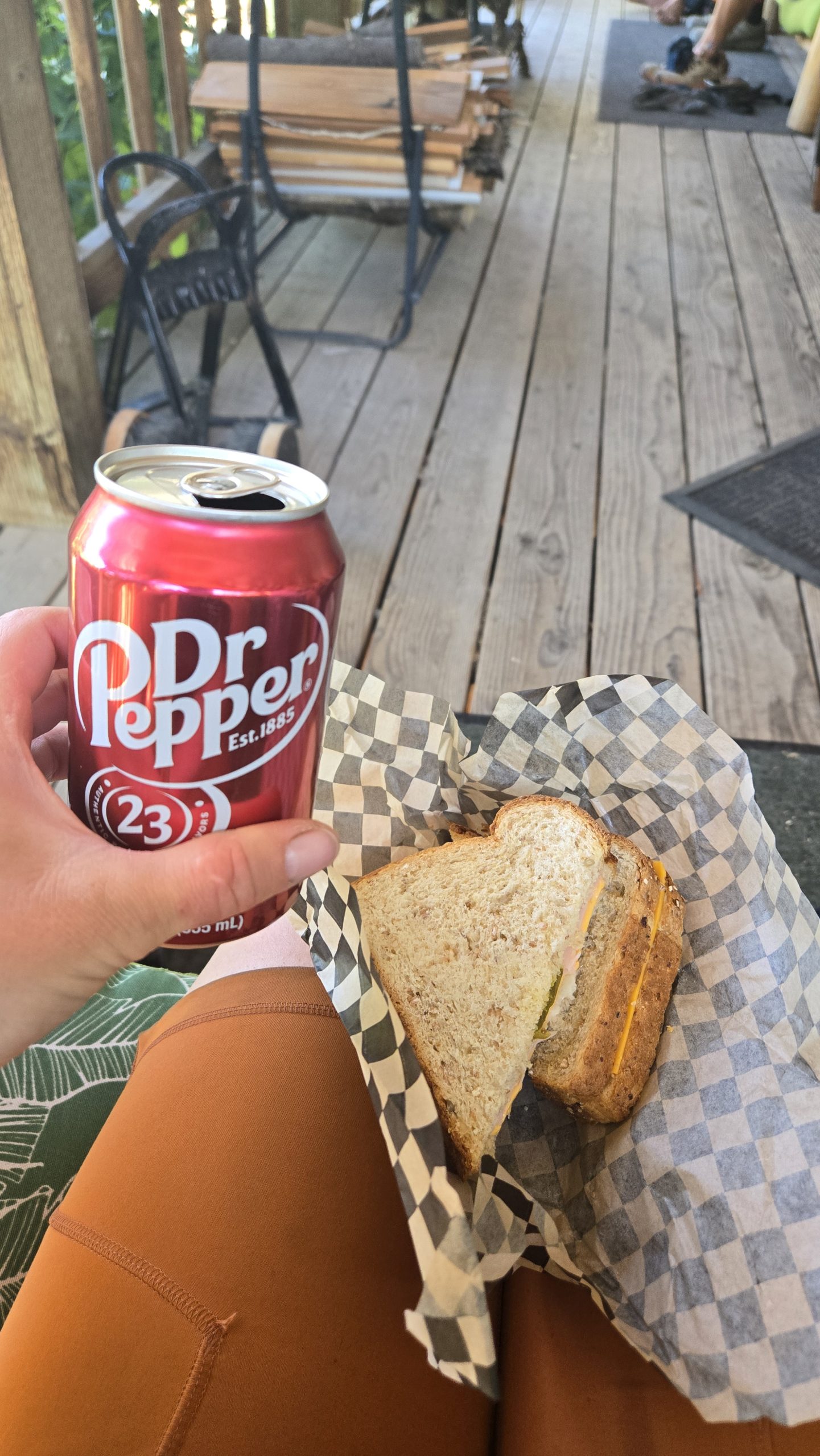
After a lengthy gravel and dirt roadwalk hiding under our umbrellas from the beating sun, we arrived at the llama ranch. The trail magic included a mini fridge on the porch stocked with sodas, beer, and cold cut sandwiches. I chose a turkey one that also had cheese, mustard, and sweet pickles on mutigrain bread. It hit the spot after 18 miles of hiking.
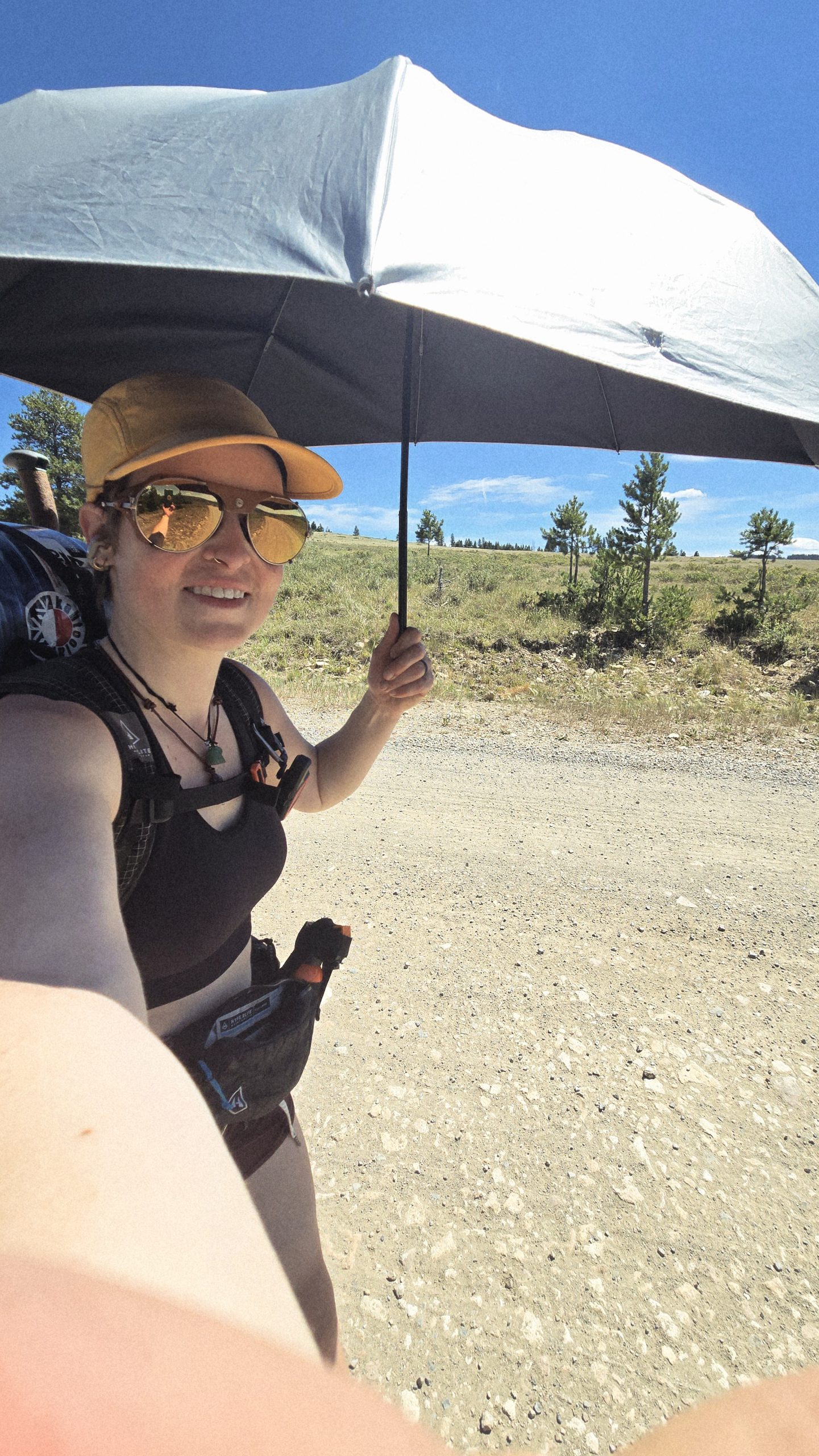
This umbrella has been one of my favorite pieces of gear during this hike. Makes sunny roadwalking much more bearable.
Pay it Forward
Shortly after arriving, we met one of the owners of the property, John. He gave us a brief spiel about the place, saying that they operate entirely free of charge and with a “pay it forward” philosophy. They do not even accept donations, believing they are better put to use out in the world. For example, paying for someone’s groceries in the line behind you would be a way to pay it forward. The ultimate goal, explained John, was to make the world a better place.
We asked about a place to camp a little ways away, and he mentioned he has a friend 5 miles down the road with a property he allows hikers to camp on. The Show, Free Samples, and I looked at each other in kismetic disbelief as we recalled what Show had said earlier. It was totally manifested.
The Not-So-Romantic Cabin
We did not, however, walk those extra five miles, but instead decided to stay at the ranch. Just past the llama hut were a bunch of tiny cabins and bunkhouses. Free Samples slept in a pink covered wagon. John offered The Show and I the cabin he said he reserved for romantic couples, a small cottage with lofted double bed and front porch. We gladly accepted but unfortunately it was more whimsical than practical.
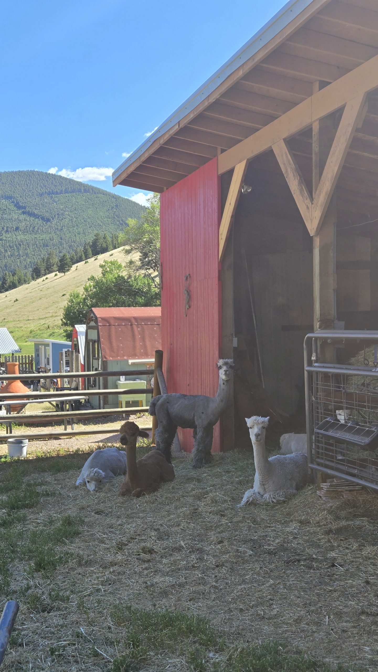
Llamas! And some of the bunkhouses/cabins in the background.
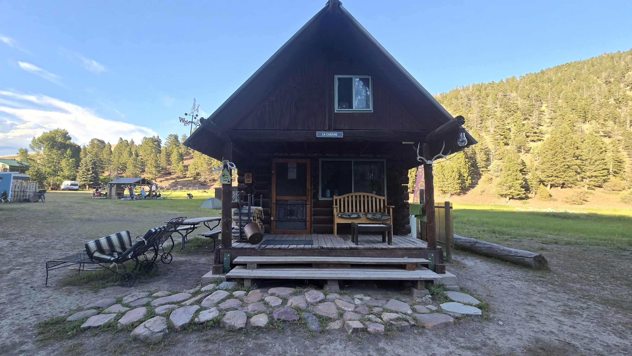
The “romantic couples” cabin, outside.
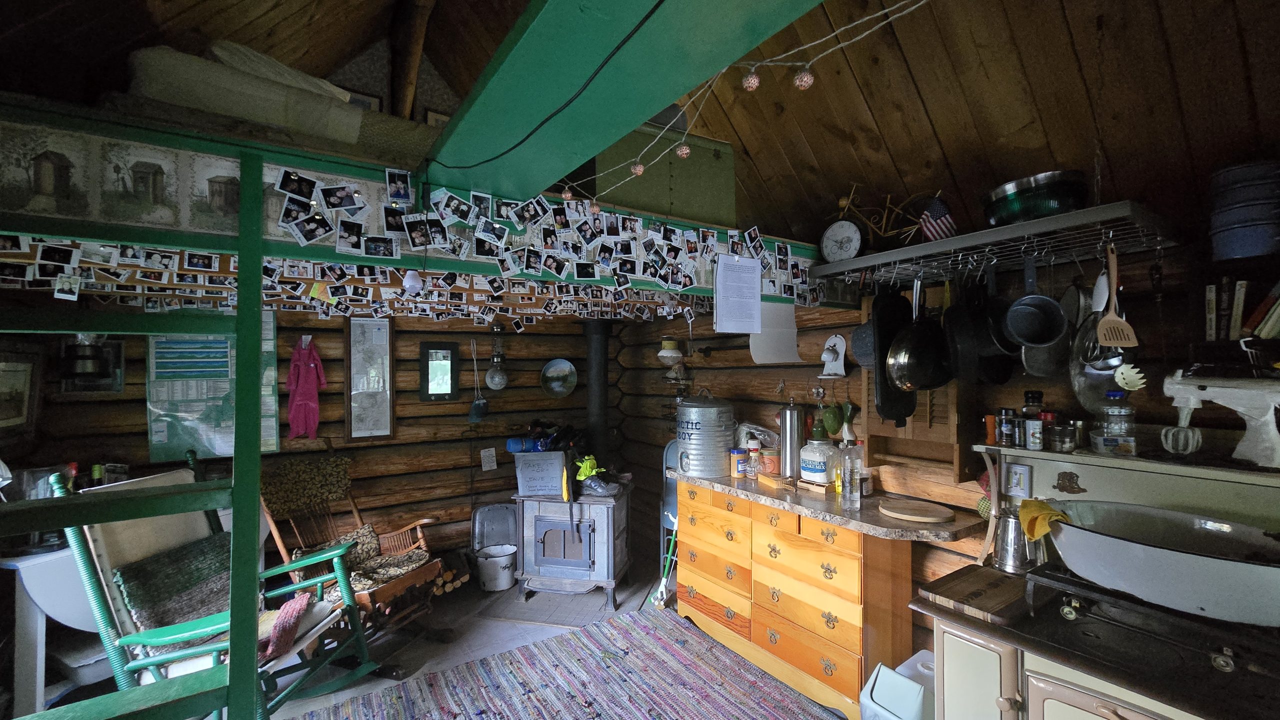
The “romantic couples” cabin, inside.
Planning to get up by 4am to beat the heat on our next day’s road walk, we settled down in the loft bed to sleep by 9pm. It was still light out and the thermostat in the cabin read 86 degrees. After 20 minutes of trying, we concluded it was just too hot to fall asleep in there, and decided to cowboy camp on the porch instead. Heat problems solved, we settled in again, only to see a mouse run across the porch by our pillows.
That was the start to a restless night of paranoia that mice were crawling over us. Real or imagined, it prevented me from sleeping well. At around 3am I’m positive I felt a mouse scurrying at the foot of my quilt and jerked awake. Both awake, we decided soon after to pack up and leave. It was the worst night’s sleep on trail yet.
Cowboying on the porch, taken just minutes before the mousenoia started.
The Elliston Direttissima, or, The Dog Creek Alt
By 5am we were road walking again, this time an alternate of our own making. Realizing the town of Elliston was only 27 road miles away, we decided to stick to the roads instead of rejoining the trail and get there that much faster. We’d been out for seven days at this point and were more than ready for some town time ASAP. Plus, the red line was still looking dry and PUD-y in the area. We called the route the “Elliston Direttissima” as well as the “Dog Creek Alt” because it took the most direct path to town and followed a creek by that name for a portion of it.
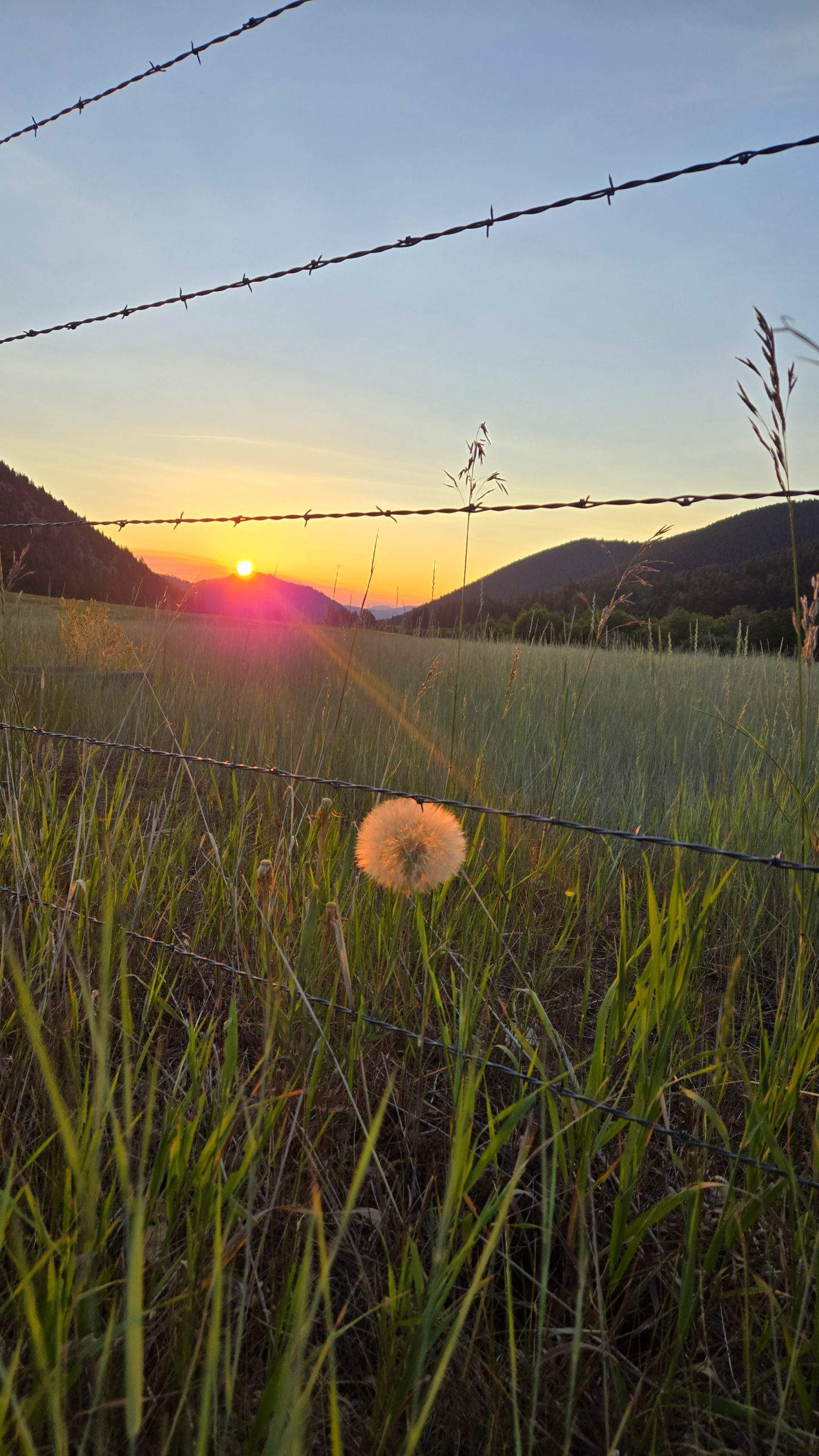
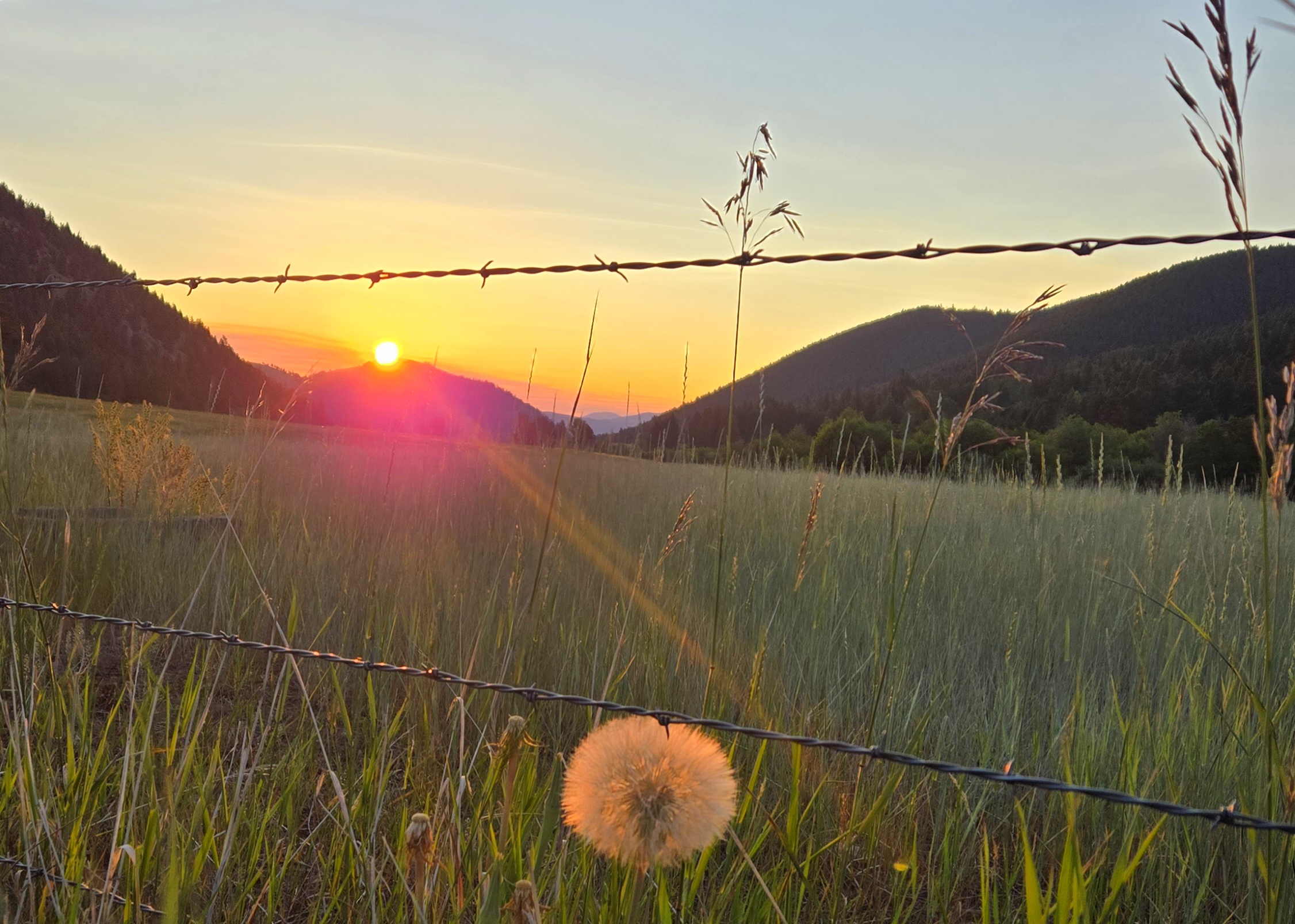
Sunrise from our roadwalk out of the llama ranch. This dandelion was the size of my palm. They don’t make ’em that big back east.
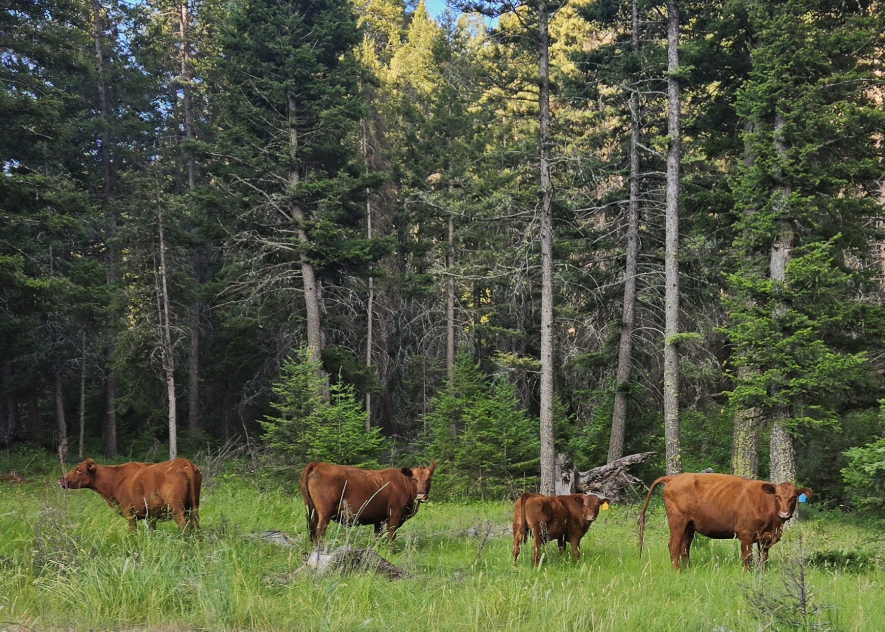
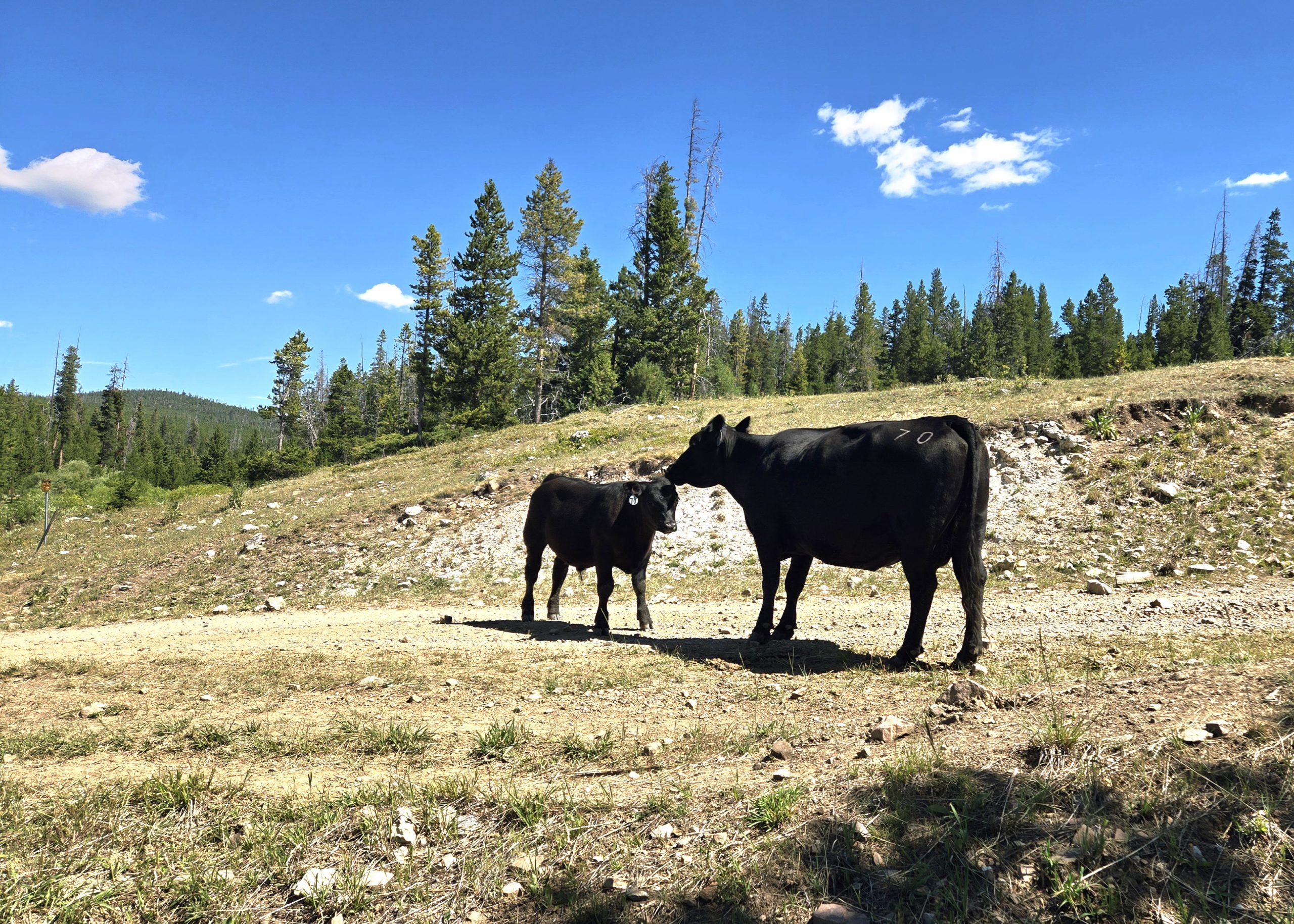
Along our alt we passed through a lot of cattle farmland and saw more black and brown cows than we could count. Some were timid and ran away from us into the trees. Others were disgruntled we were in their fields and mooed at us repeatedly.
Yucky Water
The roadside water situation turned out to be less abundant than we hoped. Creeks that are usually flowing were dry, or running directly through cow fields with cow pies on their banks. One spring we passed had a cow actively drinking from the trough so we didn’t bother to compete.
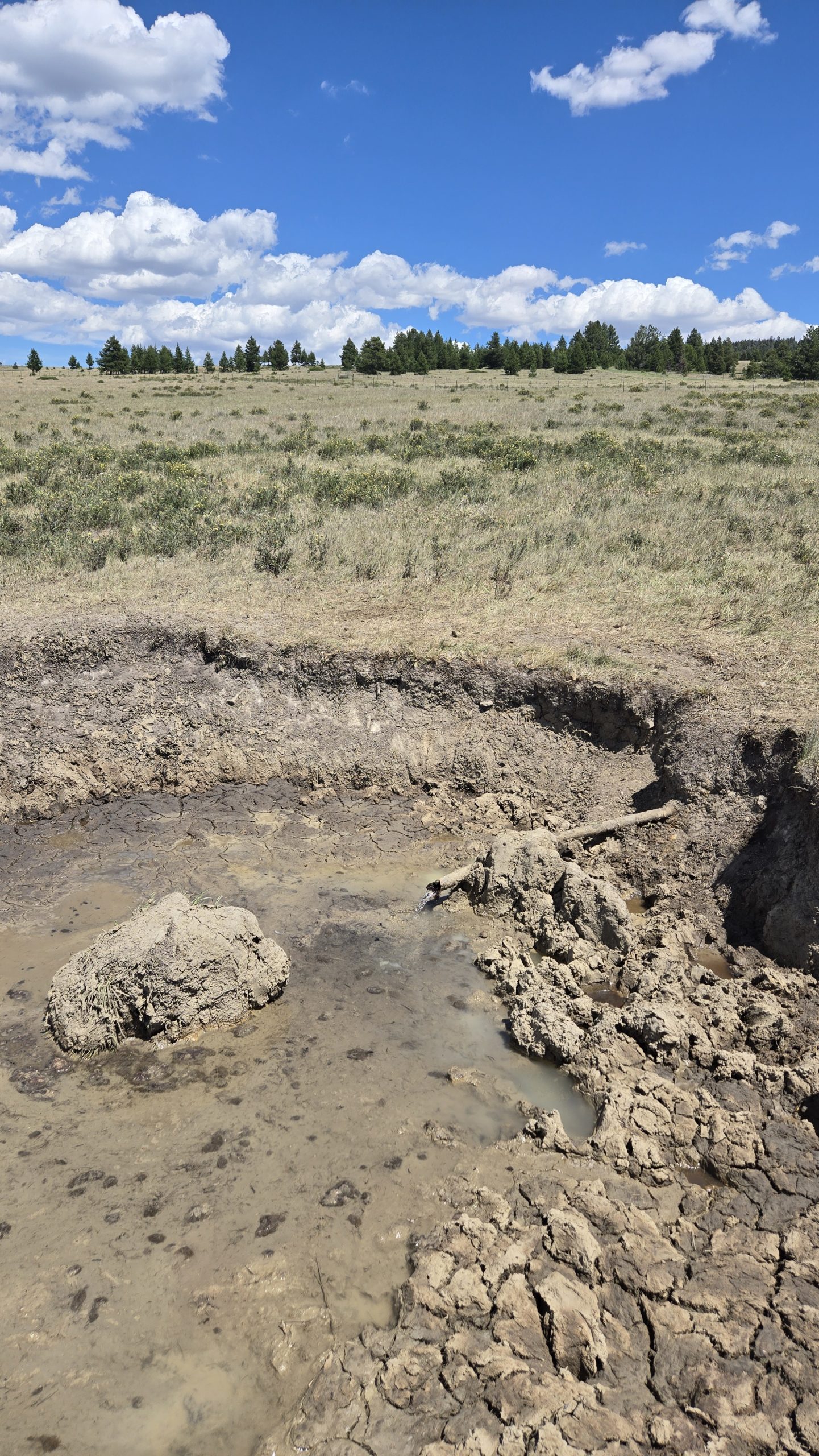
At one point our best option was what looked like some kind of irrigation line, a pipe emerging horizontally from the ground with a muddy crater surrounding it. It was certainly gross-looking, but was clear, cold, and tasted fine after we filtered it. I’m sure we’ll experience much worse down in New Mexico.
When we got to our planned stealth camp by the train tracks on Elliston Eve, we were elated to discover the nearby creek was flowing. We hadn’t been positive it would be. Not only was there running water, but enough to bathe in. We must have been a sight for the conductors of the multiple freight trains passing through to witness.
All and all, I’ll admit this leg was tough and not one of my favorites. But the selfless kindness of strangers and the freedom to create our own path helped make it a little easier.
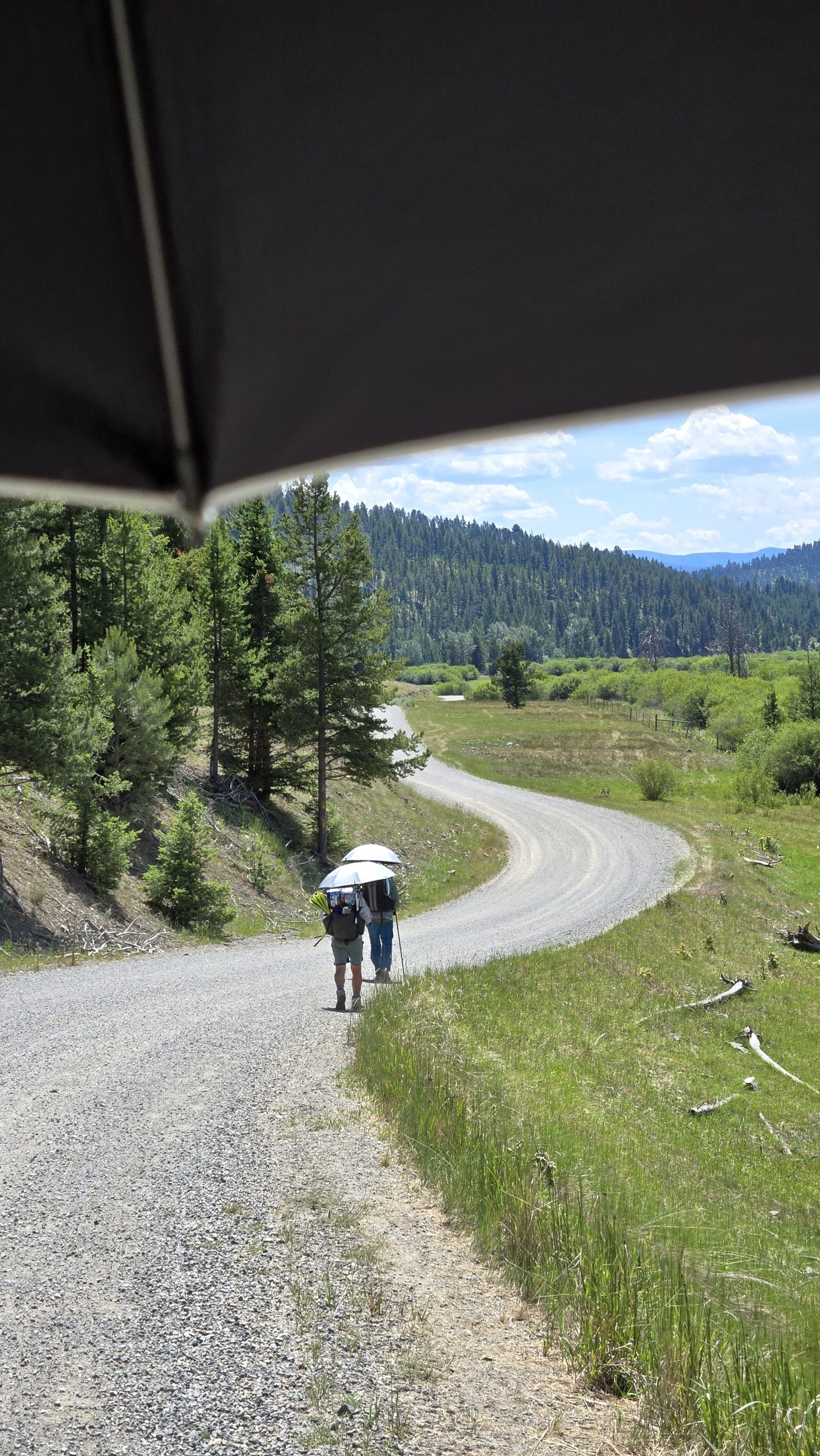
My view on most of the roadwalks, peering out from under my umbrella at The Show and Free Samples walking ahead of me under theirs.
For more thru-hiking content (and other miscellaneous life updates) follow me on Instagram @keljens
window.fbAsyncInit = function() {
FB.init({
appId : “1557470641221665”,
xfbml : true,
version : ‘v2.6’
});
};
(function(d, s, id){
var js, fjs = d.getElementsByTagName(s)[0];
if (d.getElementById(id)) {return;}
js = d.createElement(s); js.id = id;
js.src = “https://connect.facebook.net/en_US/sdk.js”;
fjs.parentNode.insertBefore(js, fjs);
}(document, ‘script’, ‘facebook-jssdk’));
//www.instagram.com/embed.js
Source link
Discover more from Gear Up!
Subscribe to get the latest posts sent to your email.